Print A Patent
South Dakota Elevation Map Print
Regular price
$7.95
Please note this is a flat to the touch art print. It is not raised relief.
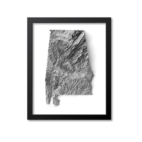
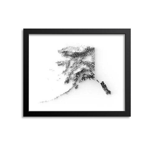
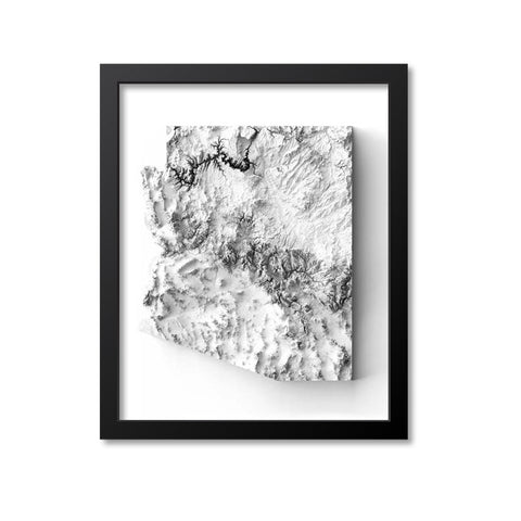
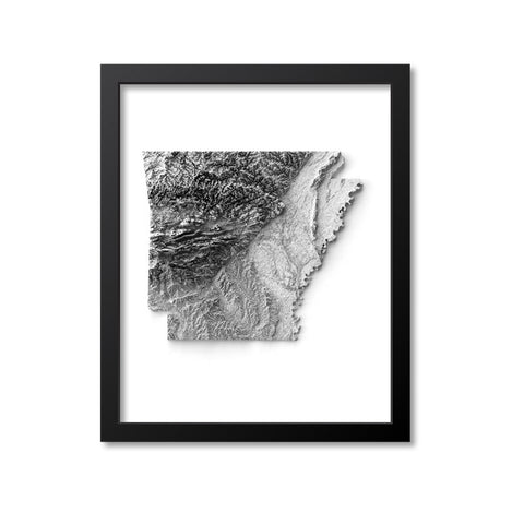
This is an elevation map of South Dakota that was created using digital elevation data from satellites and rendered into a shaded relief map. Although it looks like it is 3D please keep in mind that this is a graphic design illusion and the print is actually flat to the touch. This map art would make an attractive display piece for your home or office. Wonderful gift idea as well.
The image is printed on professional, acid free, archival matte fine art paper giving the image rich and vibrant colors.
Canvas prints are printed with UV-protected inks on museum-grade archival canvas (390 grams/square meter). They are mounted on a .75 inch wooden stretcher frame with pre-installed metal hooks. Canvas prints come ready to hang so there is no need to purchase a frame.
Prints are packaged in acid-free, moisture resistant sleeves, and shipped in rigid cardboard mailers.
Frames are for display purposes only and are not included.